


|
||||||||
|
|
|
|
|
|
|
4/05/2018 2:48:47 PM
No thunderstorms detected |
Eastern Infrared Satellite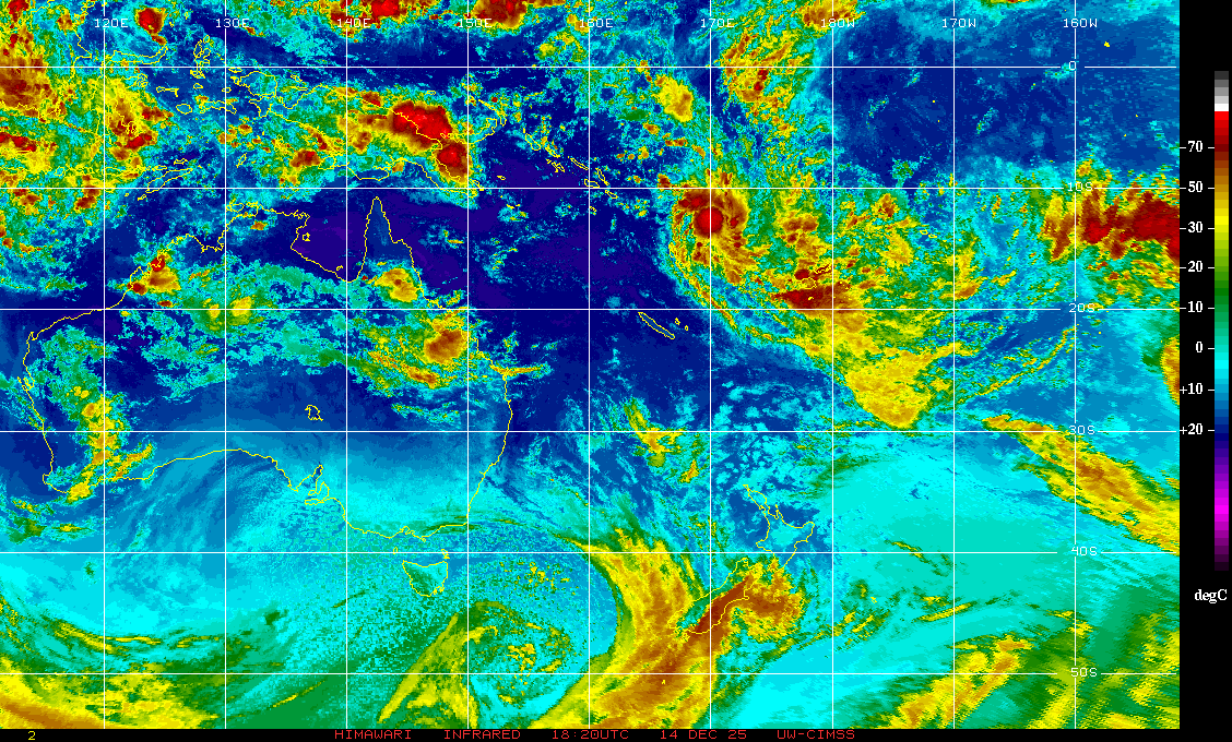
|
BOM Radar
|
Advanced Radar |
Satellite Image
|
Never base important decisions on this or any weather information obtained from the Internet.